New Jersey’s beautiful and varied landscapes give its residents many reasons to celebrate. The Garden State’s backdrop is a colorful, diverse scenery – from the Great Swamp, to the coastal Jersey Shore, to the mountain ranges. Its natural features have drastically shaped the lives of the people who have inhabited the area for thousands of years.
But how have people interacted with this land over time? Historic maps, surveying tools, and other accounts provide the keys to better understanding our relationship to our environment. Artistic renderings reveal the creativity that our natural surroundings often spark within us. As you explore Surveying the New Jersey Landscape, consider your own connection to the landscape and the human impact that we have had on the local topography, wildlife, and vegetation over time.
Thank You To Those Who Helped Make This Exhibit Possible
Montclair History Center
Morris County Historical Society
Morris County Parks Comission
Karen Spicer
Walter Rodriguez
Erin Benz
Tom Judd
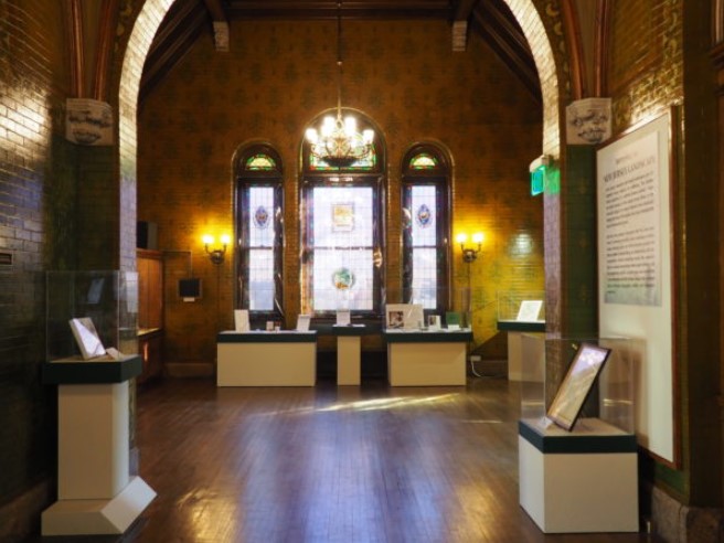
Explore Part of Surveying the New Jersey Landscape
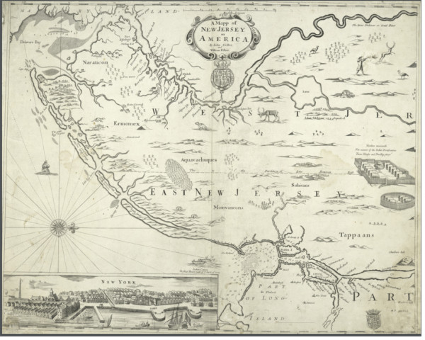
New Jersey wasn’t always a single, unified territory. From 1674 to 1702, the land was split into two parts: East New Jersey and West New Jersey. This map was created by British cartographers shortly after colonial proprietors divided the land in this manner. The map was intended to promote early settlement to the area. Notice the depictions of waterways, local animal life, and buildings.
“A Map of New Jersey in America” circa 1676 Created by British cartographers John Seller, William Fisher From the New York Public Library
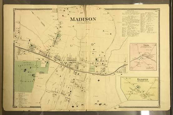
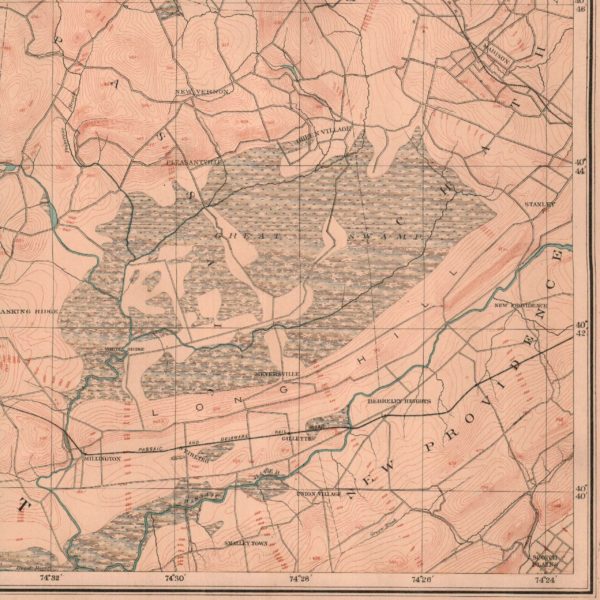
Map of Madison
Throughout the 19th century, areas of New Jersey farmland became increasingly industrialized. Many towns – like Madison – experienced tremendous growth along newly constructed railroad lines, with developed centralized downtown areas and clusters of businesses. These maps were created in the late 19th century, around the time of this industrial boom in Morris County.
This piece of equipment is called a theodolite or transit. It was created in the late 19th century by Frederick E. Brandis in New York. It contains a rotating telescope that can measure both horizontal and vertical angles. These instruments provide precise measurements used to create a topographical map that illustrates the landscape’s geographical features.
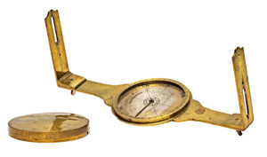
Compasses
Surveyors used brass compasses like this one to measure and record direction. The surveyor mounted the compass on a large tripod and sighted a direct line between two landscape features, such as trees, houses, or streams. This intricate brass compass was crafted by Nathan Storrs of Connecticut in the early 1790s.
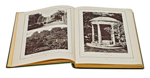
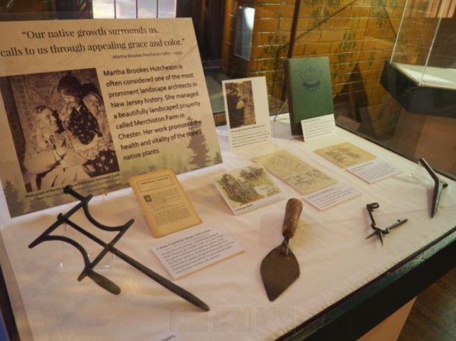
Martha Brookes Hutcheson
Martha Brookes Hutcheson is often considered one of the most prominent landscape architects in New Jersey history. She managed a beautifully landscaped property called Merchiston Farm in Chester. Her work promoted the health and vitality of the state’s native plants. You can still visit Merchiston Farm today through the Morris County Park Commission. It is now called the Bamboo Brook Outdoor Education Center.
Spirit of the Garden by Martha Brookes Hutcheson (1923) From the Collections of the Morris County Park Commission, Morris County, NJ
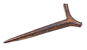
Seed Planter
Landscape architects used a variety of tools to create beautiful and landscapes. One of the many tools used was a seed planter or dibble. This tool would help poke holes in the soil, then drop seeds in.
Right in our backyard resides the Great Swamp watershed, a geographical area that covers about 35,000 acres in Morris and Somerset Counties. People have lived in this swamp land for centuries. In the 1800s, local communities used the swamp’s many natural resources for sustenance – particularly lumber for firewood.
In 1959, the Port Authority attempted to construct an international airport in the swamp lands, which would have destroyed much of this natural landscape. This effort was thwarted largely due to the protests of local residents, particularly Helen C. Fenske. In 1964, the Great Swamp became a National Wildlife Refuge, which continues to advocate for the protection and preservation of these lands today.
From the collection of the Montclair History Center